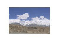
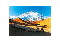
Located in the southwest of China, Qinghai-Tibet
Plateau has an area of about 2,3 million square km and and an average of over 4,000
m. It is reputed as the "roof of the world" and is the biggest plateau in China.
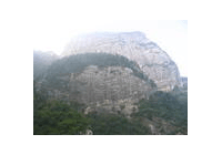
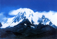
Qinghai-Tibet Plateau is a typical mountainous plateau. From north to south, it
mainly comprises Qilian Mountains, Kunlun Mountains, Tanggula Mountains, Gandise
Mountains, and Himalayas. Mount Qomolangma, the highest mount in the world, is the
main peak of Himalayas.
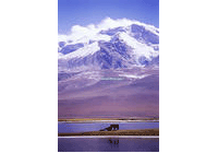
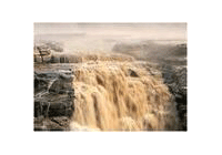
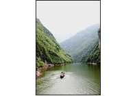
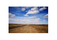
Qinghai-Tibet Plateau has a low temperature, undulating snow mountains and a large
area of glaciers, so it is called a solid water reservoir. The melted ice and snow
is not only the source of many famous Asian rivers, but also the irrigating source
for the arid region in inland China.
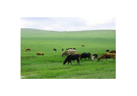
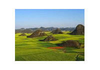
The plateau is an important natural pasture in China. The grass growing there is
not tall, but is full of nutrition, owing to the rich sunshine and active photosynthesis.
Every summer and fall, herds of cows and sheep graze there. Apart from grazing yaks,
Tibetan goats, Tibetan sheep and pian niu (offspring of a bull and a female
yak), there are herds of Mongolian gazelle, antelopes, wild oxen, Asiatic wild asses,
and many other wild animals.
Previous Next